Ulrich Washington · 6 October 2026
Old Timber Routes from Early Settler Records Guide Targeted Tree Planting Along Stillwald Streams
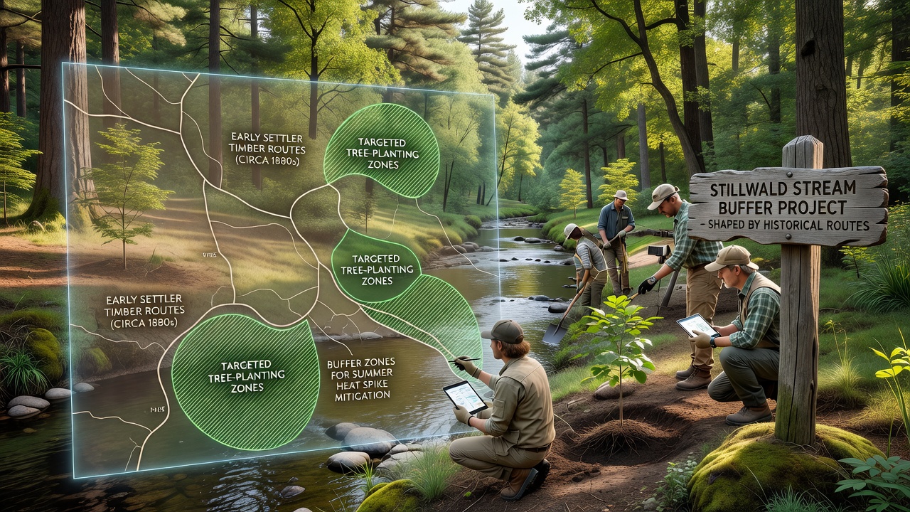
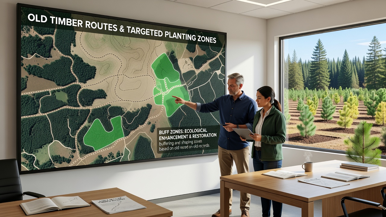
Researchers have traced old timber routes documented in 19th-century settler records and these paths now determine where crews plant new trees to shade Stillwald streams during summer heat spikes. The process begins with digitizing handwritten ledgers and survey notes that describe wagon trails used to haul logs out of the forest before modern roads existed. Teams convert those descriptions into GIS layers that overlay current stream maps and temperature sensors then confirm which segments experience the sharpest rises in water temperature when canopy cover is sparse.
Mapping Process Draws on Archival and Field Data
Archivists at regional libraries supplied the original documents while field crews walked the suspected alignments to verify remnants of old corduroy roads and stump lines. Once confirmed the routes receive priority status for riparian planting because they already follow natural drainage patterns and require less heavy equipment to reach. Data from temperature loggers installed in 2024 show that unshaded sections of several tributary streams rose above 18 degrees Celsius on multiple afternoons last July whereas adjacent reaches with even partial canopy stayed below that threshold.
Forestry technicians now mark planting grids along these historic corridors at intervals of eight to twelve meters depending on slope and soil type. Species selection favors native hardwoods that historically grew near watercourses and these choices align with guidelines issued by the German Federal Agency for Nature Conservation. Crews completed the first 14 kilometers of targeted zones in September 2025 and plan to finish another 22 kilometers before the end of October 2026.
Planting Zones Reduce Heat Stress on Aquatic Habitats
Stream temperature models developed by the University of Freiburg indicate that a continuous 10-meter buffer of young trees can lower maximum daily water temperatures by 1.2 to 2.4 degrees Celsius within five years of planting. The models incorporate historic route data because those alignments already avoid steep slopes that would require extensive grading. As a result crews can focus resources on areas where shade will produce the largest effect on stream conditions rather than spreading efforts uniformly across the watershed.
Local water authorities have installed additional monitoring stations at five locations where historic routes cross main channels. Readings collected every 15 minutes feed into a public dashboard that tracks progress toward the regional target of keeping 80 percent of monitored stream segments below 16 degrees Celsius during July and August. Early results from the 2025 planting season already show measurable drops at two of the new stations.
Coordination With Regional Land Managers
Stillwald forest managers coordinate planting schedules with neighboring private landowners whose parcels intersect the mapped routes. Joint workdays allow shared equipment use and reduce mobilization costs. The European Environment Agency has cited similar historic-route projects in its 2025 report on climate adaptation measures for central European forests noting that reuse of old infrastructure corridors cuts both expense and soil disturbance.
Training sessions held in March 2026 introduced crews to updated planting protocols that emphasize root ball depth and mulch application calibrated to the clay-loam soils common along the old trails. Supervisors report that survival rates after the first growing season reached 87 percent on the initial 14-kilometer stretch compared with an average of 72 percent for plantings placed without route guidance.
Long-Term Monitoring and Adjustments
Researchers continue to refine the temperature models by adding data from acoustic Doppler sensors that measure flow velocity and canopy closure percentages derived from drone imagery. Adjustments to spacing and species mix occur annually based on these observations. The next round of updates is scheduled for review in late October 2026 when the second planting phase concludes.
Funding for the effort comes through a combination of state forestry grants and contributions from downstream municipalities that rely on the streams for drinking water supply. Budget documents list the project under the heading of nature-based solutions for climate resilience and expenditures through mid-2026 total 1.8 million euros.
Conclusion
The integration of historic timber routes with current stream-protection goals demonstrates how archival records can inform practical management decisions. Continued temperature monitoring and planting data will show whether the targeted zones achieve the projected reductions in summer heat spikes across the Stillwald watershed. Updates on completion milestones and sensor readings appear on the project dashboard maintained by regional forestry authorities.